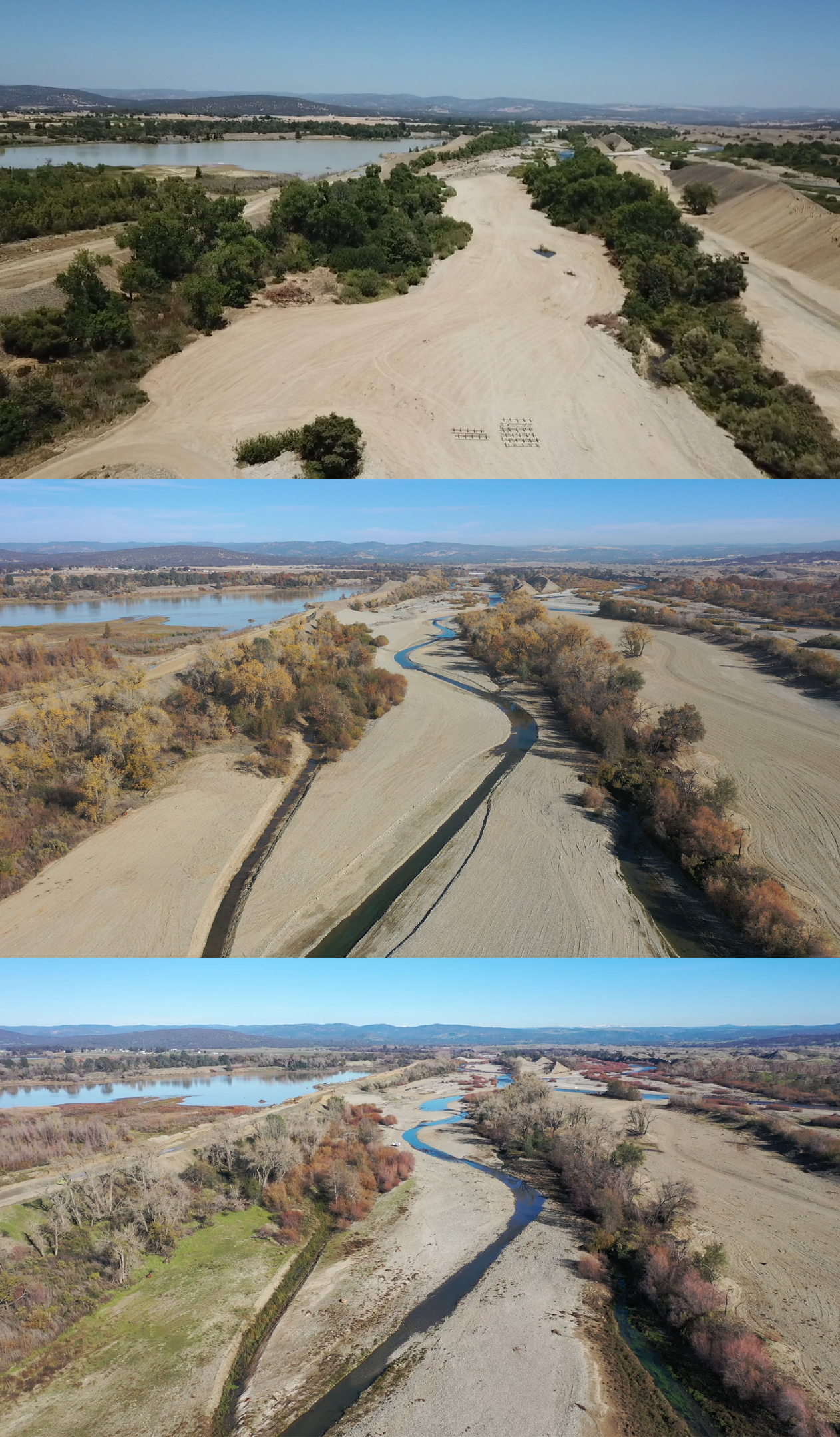
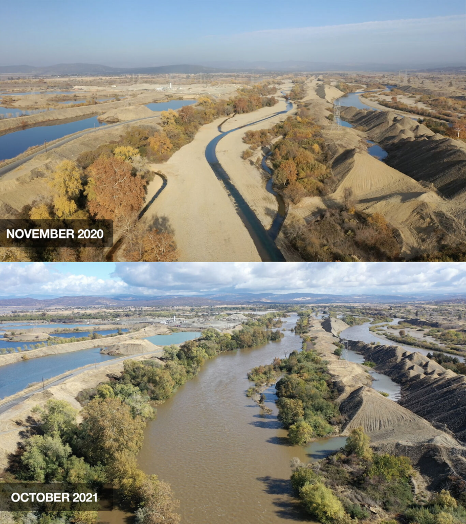
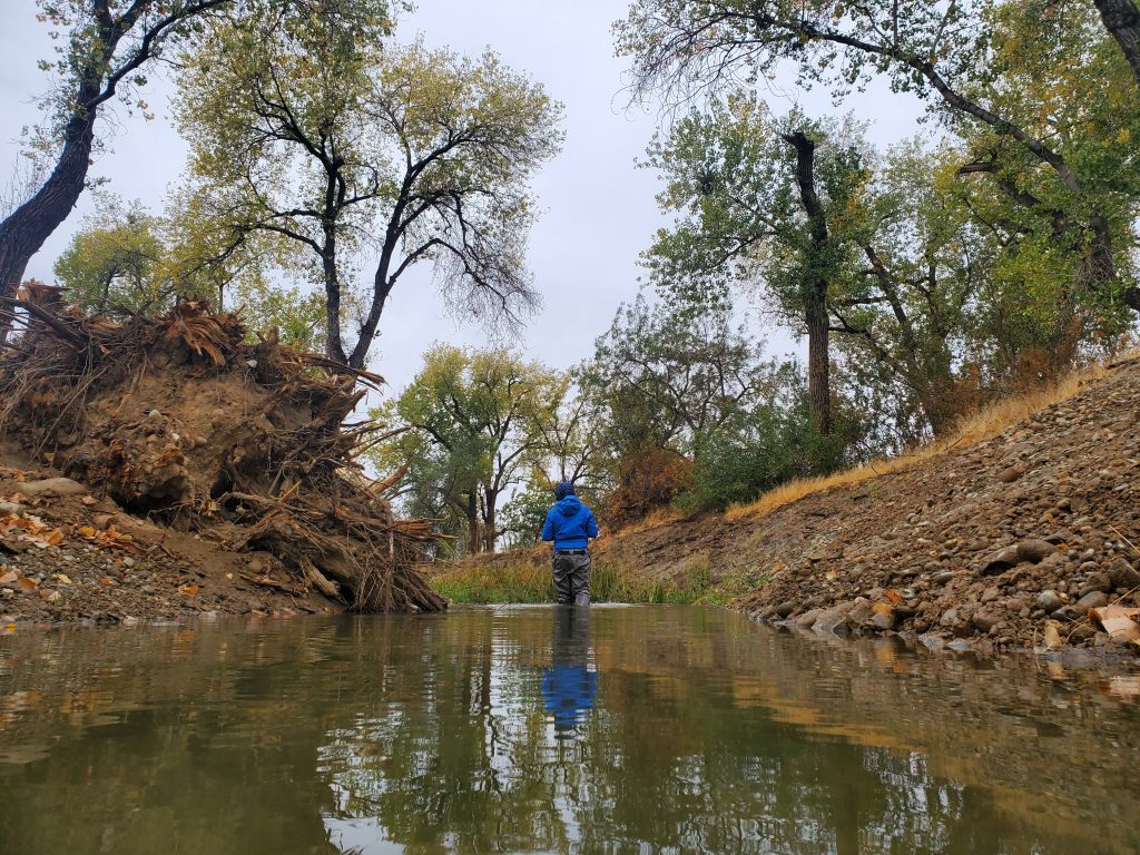
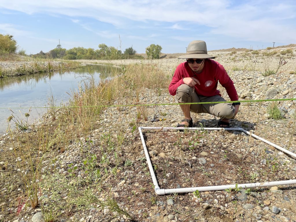
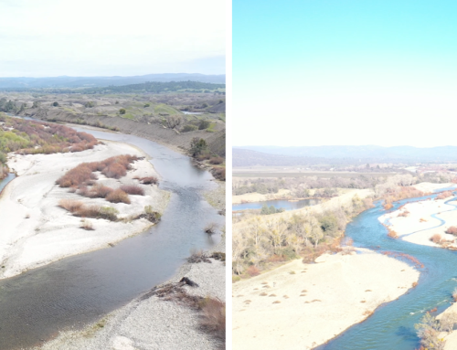
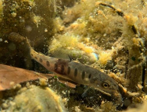
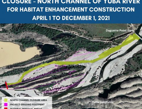
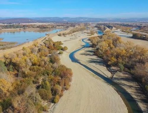
Phase 1 was implemented in 2019–2020 and created an enhanced 89 acres of historic floodplain habitat, 1.7 miles of perennial channels, and 3.7 miles of seasonal channels. Over the course of 2021, biological monitors observed the channel and floodplain habitats functioning as designed, supporting growth of the installed riparian plants, and recruiting native plants to colonize the project footprint. Additionally, juvenile Chinook salmon, juvenile rainbow trout/steelhead, Sacramento suckers, riffle sculpin, and Pacific lamprey were all documented enjoying the recently restored side channels.
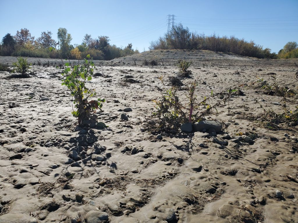
The project was put to the test in late October when an atmospheric river delivered over 13 inches of rain to the watershed (Source: NOAA River Forecast Centers Daily Quantitative Precipitation Estimates (QPE)). The resulting peak flow recorded at the Marysville USGS gage on October 25, 2021, documented just over 15,000 cubic feet of water passing through the project site every second (imagine a basketball for every cubic foot of water). In addition to being close to the end of the construction season, this was an exciting event as high flows inundated the floodplain for the first time since it was restored. After flows receded, project partners saw the signatures of restored ecosystem processes. Bountiful sediment deposition was evident on the floodplains and around riparian vegetation, which will subsequently provide habitat for further plant recruitment. The project also reduces flood risk by increasing storage capacity and lowering water surface elevations within the reach during large runoff events.
