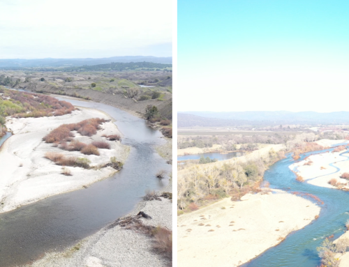
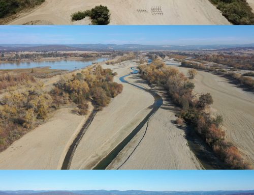
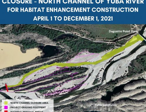
Due to topographic changes in the Project vicinity resulting from 2017 floods, the Project Team determined that fall 2017 implementation was not feasible with the amount of change that has occurred in the Project area.
Two topographic changes are notable and merit consideration for utilizing in our final design:
- the upstream inlet to the overflow channel now connects at a lower flow, and
- the main channel migrated laterally and eroded a portion of the middle traininHallwood_comparison_2014-2017g wall providing an additional overflow-main channel connection.
These changes will require refinement of the previously developed design using the same concepts intended to increase duration and frequency of juvenile salmonid rearing habitat. We conducted topographic and bathymetric surveys of the site in March and are currently updating the existing conditions surface and modeling. Our next steps include revising the 65% design surface and modeling to complete our NEPA/CEQA applications and the Central Valley Flood Protection Board Encroachment Permit in summer 2017. We intend to begin implementation in spring 2018.
[/fusion_text][/fusion_builder_column][/fusion_builder_row][/fusion_builder_container]

